Description(NY 0883 8115) Lochmaben Castle (NR) (Remains of) (OS 6" map (1957))
For predecessor motte (NY 0820 8220), see NY08SE 7.
The surviving stonework of this castle, which was not maintained after the Union of the Crowns in 1603 is 15th century. The ramparts and ditches are older and must be identified with the timber pele of Edward I, built 1298-9.
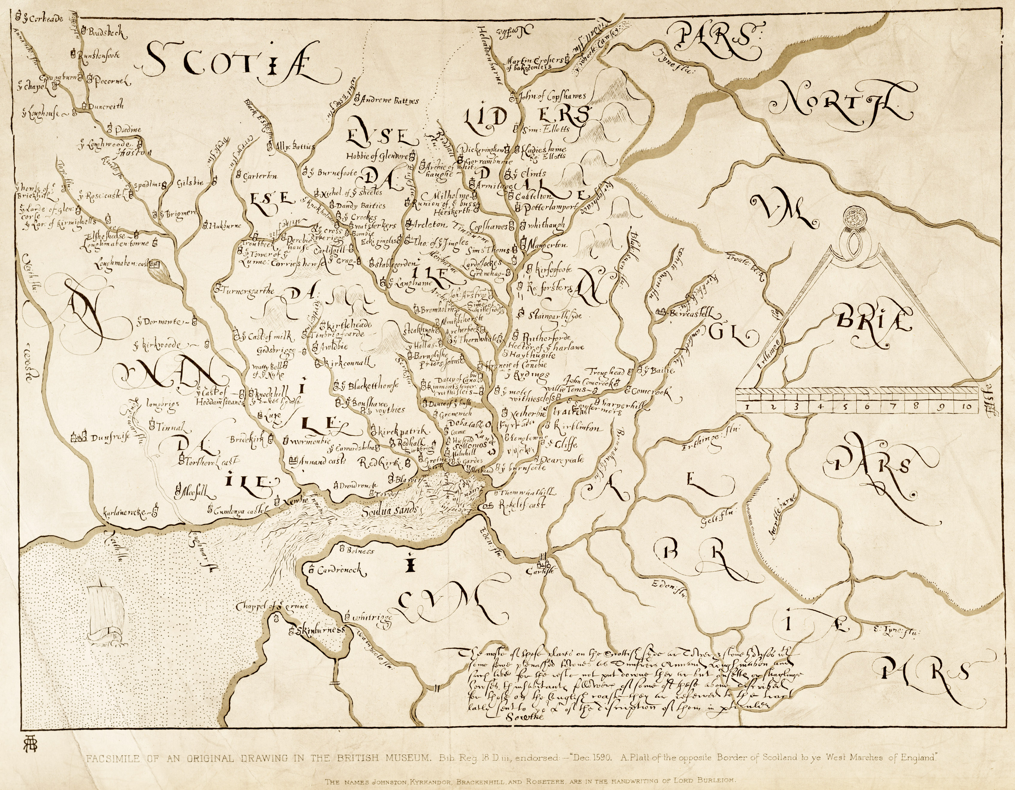
A bank and ditch, having no function in the plan of the castle, set slightly in front of the outer ward and a more extended rampart which runs from the loch to Valison Burn, Radford suggests may define a Roman-period meeting place, the 'locus Maponi' of the Ravenna Cosmography, although this is commonly located at the Lochmaben Stone (NY36NW 4).
Medieval finds are in Dunfries Museum and the Mational Museum, Edinburgh. (C A R Radford 1954; E Birley 1954; J MacQueen 1954; R C Reid 1954; I A Richmond and O G S Crawford 1949; RCAHMS 1920; I A Richmond 1958)
As described above. Surveyed at 1/2500. No accession numbers could be obtained for the finds in Dumfries Museum. Visited by OS (EGC) 20 June 1966
The stone castle at Lochmaben is first mentioned in 1365, 1367 and 1375, when its construction is recorded, but the timber peel (presumably NY08SE 7) was still maintained. It became a royal castle (under the administration of James II) in 1445, and was used as a campaigning base (by James V) in 1542, It appears to have fallen out of use in the later 17th century, and was subsequently quarried for stone, being ruinous by the end of the 18th century (when it was drawn by Adam de Cardonnel).
In 1968-72 small-scale area excavation was carried out within the outer ward (area A) and in the SW angle of the outer plateau or bailey (area B); the counterweight pit to the gateway was excavated in the former area, and evidence of Victorian and later consolidation and landscaping was widespread. The excavated finds comprise mainly pottery, with some iron- and bronze- work, but little bone.
The remains of three constructional phases were recognised in area A; all were attributed to the same building operation within a short period in the later 14th century. The excavation of area B aimed to establish the date and character of the earthwork defences; several post-holes were found but no pattern was recognised. The platform that comprises the bailey was found to have been built-up with clay, while the probable palisade-trench that was set behind the lip of ditch A was dated to shortly after 1300. Pottery from the brown earth deposit above the clay appeared consistent with a late 14th century date, and that area had apparently formed a 'work camp' during the construction of the castle. Lead-smelting hearths were identified, while quantities of iron slag and pot wasters were found. The S sector of the bailey was apparently abandoned after the stone castle was built. (A D S Macdonald and L R Laing 1977)
The finds from Macdonald and Laing's excavations are held in Dumfries Museum under accession number DUMFM: 1977.6. Information from Mrs S Ratchford (Dumfries Museum), 7 November 1994.
Eight holes on either side of the W wing wall were monitored by Kirkdale Archaeology in advance of the erection of supporting scaffolding. All trenches revealed deposits associated with the decay of adjacent masonry, and the gradual infilling of the moat or canal in front of the mid-14th-century stone castle. In some of the holes there was possible evidence for the denuded earthen bank defining the moat or canal, sealed by bone-rich occupation debris. Sponsor: HS (G Ewart, P Sharman 1996; DES 1996, p 31)
NY 0883 8115 A watching brief was undertaken in January and February 2001 during clearance operations within one of a series of defensive ditches positioned S of the castle. This is one of two ditches which have been used by the adjacent farm as general purpose refuse dumps.
The task was to remove all recent infill dumping. The hope was that the sides of the ditch could be re-established and that the archaeological deposits believed to have accumulated in the lower parts of the ditch would be left undisturbed.
The potential problems with this operation lay both in the dumped farm material to be removed which could range from the mundane to the toxic, as well as the nebulous nature of the ditch itself, almost all of which was now invisible thanks to landscaping. Removal of the overburden from the archaeological layers within the ditch exposed them to drying and weathering. It was noted that the ditch is not naturally level and that drainage would take place in both an easterly and westerly direction. Sponsor: Historic Scotland. (G Ewart and P Sharman 1996)
Peel of Lochmaben. Listed as stone castle, medieval pottery and coins. (RCAHMS 1997)
Scheduled as Lochmaben Peel and Castle. Information from Historic Scotland, scheduling document dated 26 February 2003.
NY 082 820 to NY 082 818 Oval enclosure, 150m by up to 70m, identified adjoining the SSE side of the Old Motte of Lochmaben (NY08SE 7), coaxial to the longer axis of the motte and containing Gallows Hill. Houses and gardens overlie where it would join. The enclosure is contained by a bank, ditch and counterscarp bank, now only recognisable on the NE and SW, otherwise reduced to a scarp and terrace, and obscured by golf course earthworks on the NW. It clearly functioned as a very large bailey, and might therefore be Edward I¿s palisade or cloisture outside the peel constructed in 1299, although this has normally been identified with the site occupied by the later castle (NY08SE 8).
The ditch on the NE, around the base of Gallows Hill, can be traced for 120m, 8¿12m wide, and the remains of the counterscarp bank, up to 20m thick, along the escarpment overlooking Castle Loch. Beyond a D-shaped mound, 40 x 30m, which projects from the slope, the defences continue as a scarp and terrace along the slope crest. The southern end, in the next field, E of Castlehill Farm, has been almost obliterated by ploughing, but the course is resumed in the SW corner of the Gallows Hill field at NY 081 818, where the bank, ditch and counterscarp are extant for 70m, before merging with the farm road. (T C Welsh 2004)
Lochmaben Peel and Castle
Description
The monument comprises the remains of the 13th-century peel and 14th-century stone castle at Castle Loch, Lochmaben, surviving as earthworks, substantial stone structures and buried archaeology, together with an area defined by the outer defences. The monument was originally scheduled in 1937 but is being re-scheduled now as no adequate documentation can be traced from the time of the original scheduling.
Lochmaben Castle is situated on a promontory projecting into the S end of Castle Loch, Lochmaben. The promontory is cut off to the S by an outer ditch, running from the loch in the W to the Valison Burn in the E. At its heart, the castle sits on a trapezoidal platform forming the inner ward, now containing the upstanding remains of the later stone castle.
Ditches and palisades originally surrounded it and the outer ward, which lies immediately to the S. Both wards contained timber buildings erected to provide a secure base for the army of Edward I. The inner ward was only accessible to the castle garrison and contained a great tower, originally built of timber, but later replaced in stone. The outer ward contained additional accommodation and workshops and may have housed the ?Pale Toun?.
Access to the castle was from the S, and traces of a gate and outer barbican can still be seen through the S defences of the outer ward, lying just to the W of the present track. An outer enclosure, consisting of parkland and possibly part of the ?Pale Toun?, lies within the most southerly ditch. The function of the peel was to accommodate and support a campaigning army of invasion.
Work started on Edward I?s Peel of Lochmaben before Christmas 1298, when Robert de Cantalope was appointed Keeper. It was built to replace the motte and bailey castle that the English had recently captured from the Bruce family, 500m NW of the peel. Forty-eight labourers and twelve skilled craftsmen from Cumberland started work: and by summer of the next year the buildings were sufficiently advanced to withstand a five-day siege by the Earl of Carrick. The design was probably the brain-child of Master James of St George, who was responsible for a number of important military works for Edward I.
Minor excavations in the peel in the 1960s revealed that the original surface of the first peel was buried more than 2m beneath later levelling and construction debris. The first documentary evidence for stone buildings in the castle is in 1364, but since this refers to repairs it is safe to assume that the rebuilding of the castle in stone was well underway by then. It may have begun as early as 1301, as a response to a further attack, this time by 7,000 Scots under John de Soules, who ?burnt our Pele Toun and Pele?.
The stone castle was built on the inner ward of the peel. This comprised an impressive curtain wall castle, with an impressive frontal gateway, flanked to either side by unusual projecting wing-walls. Each of the latter had a basal arch over the wet moat, the purpose of which may have been to allow boats to arrive at the front entrance.
The importance of Lochmaben can perhaps be measured by the effort the English made to keep possession of it through the 14th century. For much of that time it remained an outpost in hostile territory with all the attendant problems of provisioning a considerable garrison under such circumstances. Despite that effort, Lochmaben eventually fell into the hands of the Earl of Douglas in 1384.
Lochmaben became a royal possession, and James IV is credited with major works to rebuild the great hall. Once it was abandoned, the castle buildings were allowed to decay and finally became a quarry supplying stone for the town. There is evidence of considerable stone replacement and refacing on both sides of the front curtain wall, likely to date to the end of the 19th century. (Scheduling Report)